Land's End to John o' Groats
![Creative Commons Licence [Some Rights Reserved]](https://s1.geograph.org.uk/img/somerights20.gif)
Contents
- Part 1 Land's End to Ravenscar
- 1 Land's End to Carvolth Downs
- 2 Cargenwen to Kestle
- 3 Higher Kestle to Hessenford
- 4 Hessenford to Tavistock
- 5 Tavistock to Hampson Cross
- 6 Burston Cross to Trumps
- 7 Rocknell to Dunball
- 8 Walpole to Barrow Gurney
- 9 Barrow Gurney to Berkeley
- 10 Gossington to Wistley Grove
- 11 Wistley Hill to Darlingscott
- 12 Darlingscott to Hunningham
- 13 Hunningham to Blaby
- 14 Glen Parva to Bunny
- 15 Gotham to Ollerton
- 16 Ollerton to Nettleham
- 17 Nettleham to Kingsforth
- 18 Kingsforth to Watton
- 19 Cranswick to Buckton
- 20 Buckton to Ravenscar
- Part 2 Ravenscar to Inverness
- 21 Ravenscar to Boulby
- 22 Boulby to Hartlepool
- 23 Hartlepool to Bournmoor
- 24 Bournmoor to Newsham
- 25 Newsham to Boulmer
- 26 Boulmer to Mount Hooley
- 27 Kentstone to Coldingham Moor
- 28 Coldingham Moor to Kingston
- 29 Kingston to Edinburgh
- 30 Edinburgh to Gallatown
- 31 Gallatown to Fordelhill
- 32 Fordelhill to Marywell
- 33 Auchmitie to Crowhillock
- 34 Crowhillock to Bridge of Don
- 35 Bridge of Don to Colpy
- 36 Colpy to Forgie
- 37 Forgie to Forres
- 38 Broom of Moy to Inverness
- Part 3 Inverness to John o' Groats
- 39 Inverness to Alness
- 40 Alness to Ardshave
- 41 Ardshave to Navidale
- 42 Navidale to Mybster
- 43 Mybster to Castletown
- 44 Castletown to John o' Groats
19 Cranswick to Buckton
| Click here for OS mapping |
| TA0152 | - | Allotment Gardens near Cranswick | 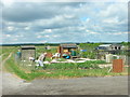 | 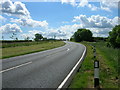 | A164 towards Hutton Cranswick |
| TA0153 | - | Track to Old Sunderlandwick | 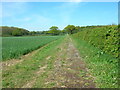 | 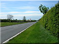 | A164 towards Hutton Cranswick |
| TA0253 | - | Disused Mill, Hutton | 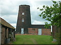 | 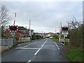 | Hutton Gatehouse Level Crossing |
| TA0353 | - | Skerne Beck | 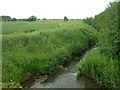 | 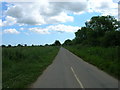 | Corpslanding Road |
| TA0354 | - | Rickle Pits Farm | 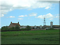 | 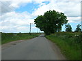 | Minor Road Towards Skerne |
| TA0454 | - | Farmland, Pick Hills | 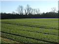 | 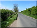 | Minor Road Towards Hutton Cranswick |
| TA0455 | - | Eagle House, Skerne | 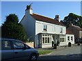 | 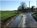 | Icy Lane, Skerne |
| TA0355 | - | Field entrance off Driffield Road | 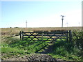 | 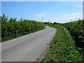 | Minor Road Towards Skerne |
| TA0356 | - | Crop field, Bell Mills |  |  | National Cycle Route 1 |
| TA0256 | - | Poultry houses near Skerne Leys |  |  | Beverley Road, Driffield |
| TA0257 | - | Mortimer's Warehouse, River Head, Driffield | 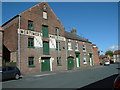 | 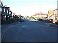 | Wansford Road (B1249), Driffield |
| TA0258 | - | The former Bay Horse public house, Driffield | 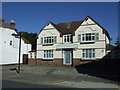 | 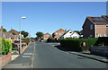 | The Mount, Driffield |
| TA0358 | - | Driffield School |  |  | Bus stop on Bridlington Road, Driffield |
| TA0458 | - | Farmland South West of Nafferton |  |  | National Cycle Route 1 |
| TA0459 | - | Woodland near Turkey Farm | 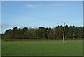 | 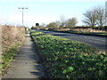 | National Cycle Route 1 |
| TA0559 | - | Cross Keys, Nafferton | 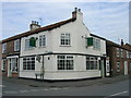 | 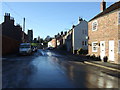 | Coppergate, Nafferton |
| TA0558 | - | Nafferton Railway Station | 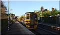 | 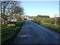 | Entering Nafferton |
| TA0658 | - | Houses on Nethergate | 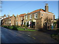 | 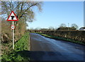 | New Bridge Lane |
| TA0758 | - | Crop field near Carr House | 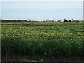 | 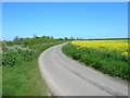 | Minor Road Towards Nafferton |
| TA0858 | - | Track to Millingdale Farm | 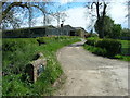 | 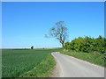 | Minor Road Towards Millingdale Farm |
| TA0859 | - | Outgate Farm | 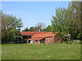 | 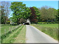 | Minor Road Towards Lowthorpe |
| TA0860 | - | Cottages at Lowethorpe | 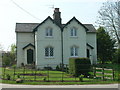 | 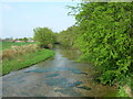 | Kelk Beck |
| TA0960 | - | Bridleway Beside Lingholmes Plantation | 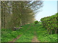 | 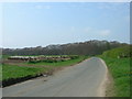 | Minor Road Towards Lowthorpe |
| TA1060 | - | Little Kelk Farm | 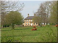 | 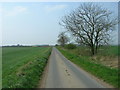 | Minor Road Towards Little Kelk |
| TA1061 | - | Small Woodland | 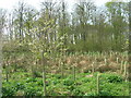 | 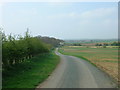 | Minor Road Towards Harpham |
| TA1062 | - | Former police house, Burton Agnes | 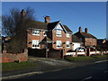 | 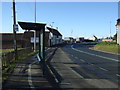 | Bus stop on Hospital Hill, Burton Agnes |
| TA1063 | - | Norman Manor House, Burton Agnes Hall | 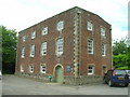 | 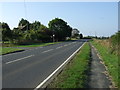 | A614 towards Driffield |
| TA0964 | - | Middle Field | 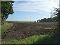 | 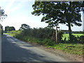 | Footpath off National Cycle Route 1 |
| TA1063 | - | Stubble field off National Cycle Route 1 |  |  | National Cycle Route 1 |
| TA0965 | - | Fox Covert |  |  | Woldgate Roman Road |
| TA1065 | - | Farmland south of Woldgate |  |  | Woldgate Roman Road |
| TA1066 | - | Bridleway Towards South Side Plantation |  |  | Woldgate Roman Road |
| TA1166 | - | Crop field off Woldgate |  | | Woldgate Roman Road |
| TA1266 | - | Bales beside Woldgate |  |  | National Cycle Route 1 |
| TA1366 | - | Farmland and hedgerow |  | 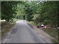 | Fly tipping beside Woldgate (Roman Road) |
| TA1367 | - | Boynton Hall | 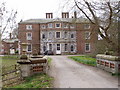 | 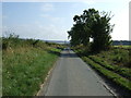 | National Cycle Route 1 |
| TA1467 | - | Track Through Fish Ponds Wood | 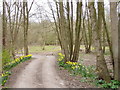 | 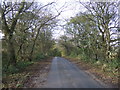 | Woldgate Roman Road |
| TA1567 | - | Trees sheltering Eastfield Garden Centre |  | 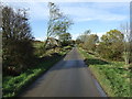 | Woldgate Roman Road |
| TA1667 | - | Bridlington Ambulance Station | 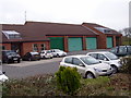 | 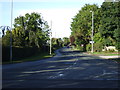 | Easton Road (B1253) |
| TA1767 | - | The Pack Horse, Bridlington Old Town | 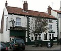 | 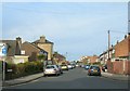 | South Back Lane, Bridlington |
| TA1867 | - | The Beaconsfield Arms, Flamborough Road | 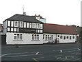 | 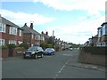 | St Andrew Road, Bridlington |
| TA1967 | - | The Expanse Hotel, Bridlington | 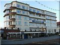 | 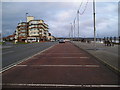 | North Marine Drive, Bridlington |
| TA1968 | - | Sewerby Grange | 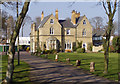 |  | Viking Road off Wheatley Drive, Bridlington |
| TA1969 | - | Houses on Sheeprake Lane |  |  | Entering Bridlington on the B1255 |
| TA1970 | - | House on Jewison Lane |  | 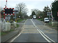 | Jewison Lane Level Crossing |
| TA1971 | - | Crop field off Flamborough Road |  | 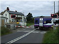 | Bempton Level Crossing |
| TA1871 | - | Woodland near High Barn |  |  | Newsham Hill Lane towards Bempton |
| TA1872 | - | Traditional Farm Building |  |  | B1229 towards Buckton |
| TA1873 | - | Field boundary near Buckton |  |  | B1229 towards Buckton |
| TA1773 | - | Bungalow Farm near Buckton Hall |  |  | Speeton Gate (B1229), heading east |
( Page < < prev 1 ... 15 16 17 18 19 20 21 22 23 24 25 26 27 ... next >> )