Geo-Trips :: A road trip around Holton St.Mary, Higham, Stoke By Nayland & Stratford St.Mary
Holton St.Mary, Higham, Stoke By Nayland & Stratford St.Mary
A drive from Holton St.Mary, Sat, 16 Aug 2014 by Adrian Cable
Click the blue circles to see a photograph taken from that spot and read further information about the location. The blue lines indicate the direction of view. There is also a slideshow of this trip. ( )
↓ Scroll down here ↓
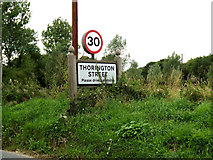
Thorington Street Village name sign
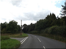
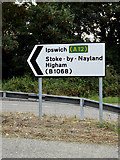
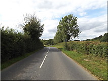
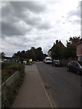
On the B1068
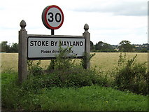
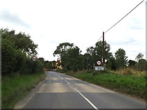
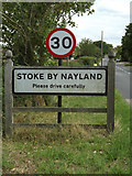
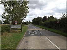
Stoke By Nayland Village Name sign
On the B1068 Park Road
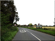
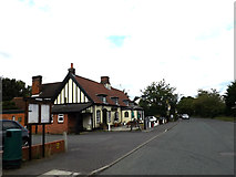
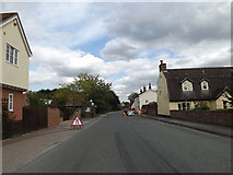
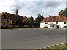
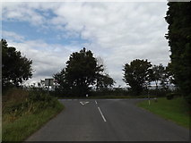
Entering Stoke By Nayland
On the B1068 Park Road
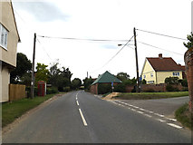
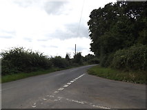
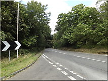
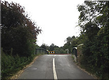
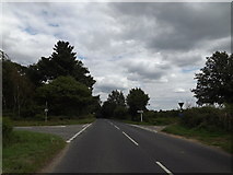
B1068 Thorington Street
At the junction with Hudsons Lane
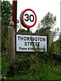
Thorington Street Village name sign
On the B1068
Entering Thorington Street on the B1068
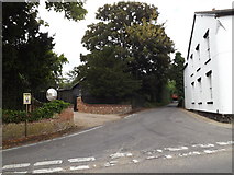
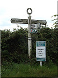
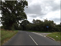
Marsh Road, Higham
At the junction with the B1068
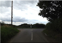
B1068 at the junction with Marsh Road
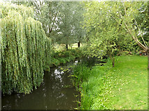
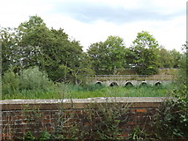
River Brett at Higham Bridge
Off the B1068 Lower Street
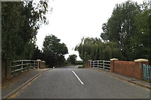
B1068 Lower Street at Higham Bridge
B1068 Lower Street, Higham
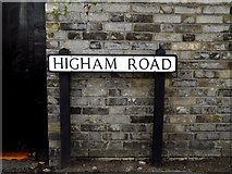
At the junction with Higham Road
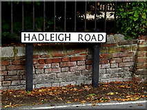
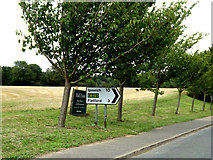
Hadleigh Road sign
On Hadleigh Road at the junction with the B1068 Upper Street
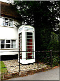
White Telephone Box
In a front garden off the B1068 Upper Street
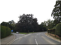
Hadleigh Road, Higham
At the junction with the B1068 Upper Street
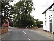
B1068 Upper Street, Higham
At the junction with Hadleigh Road
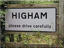
Higham Village Name sign on the B1068
(Close up)
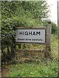
Higham Village Name sign on the B1068
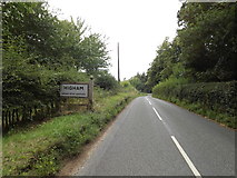
Entering Higham on the B1068
B1068 looking towards Green Lane
Green Lane near Higham
At the junction with the B1068
B1068 near Higham
At the junction with Green Lane
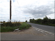
B1068 near Higham
At the junction with Sandpits Lane at Holly Bush Corner
Roadsign on the B1068
At the junction with Sandpits Lane at Holly Bush Corner
Sandpits Lane, near Higham
At the junction with the B1068 at Holly Bush Corner
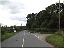
B1068 near Higham
At the junction with Sandpits Lane at Holly Bush Corner
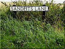
Sandpits Lane sign
On Sandpits Lane at the junction with the B1068 at Holly Bush Corner
Sandpits Lane, near Higham
At the junction with the B1068 at Holly Bush Corner
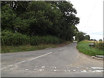
B1068 near Higham
At the junction with Sandpits Lane at Holly Bush Corner
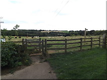
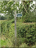
Footpath onto Belstead Meadows
Off Cottingham Road... more
Cottingham Road, Pinebrook, Ipswich
Near Belstead Meadows
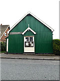
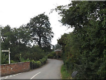
Stratford St.Mary Parish Room
Off Upper Street
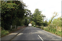
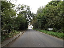
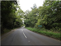
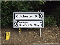
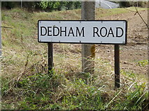
B1029 Dedham Road, Stratford St.Mary
At the junction with the A12 Ipswich Road
Roadsign on the B1029 Dedham Road
At the junction with the A12 Ipswich Road
A12 Ipswich Road, Stratford St.Mary
At the junction with the B1029 Dedham Road
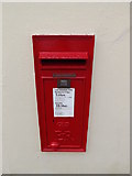
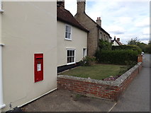
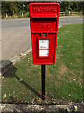
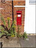
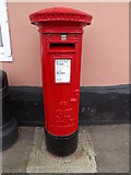
Stratford St.Mary Post Office Postbox
On Upper Street at Stratford St.Mary Post Office
Postbox No.CO7 307
(Close up)
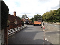
Upper Street, Stratford St.Mary
At the junction with School Lane & B1029 Dedham Road
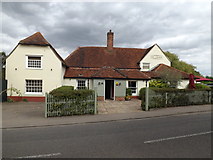
Upper Street & The Anchor Public House
Roadsign on the A12 Ipswich Road
At the junction with the B1029 Dedham Road
Vale Garage, Stratford St.Mary
Off Upper Street
Upper Street, Stratford St.Mary
Near Stratford St.Mary Post Office
Stratford St.Mary Post Office Postbox
On Upper Street at Stratford St.Mary Post Office
Postbox No.CO7 307
(Close up)
Stratford St.Mary Post Office Postbox
On Upper Street at Stratford St.Mary Post Office
Postbox No.CO7 307
Upper Street & Stratford St.Mary Post Office Postbox
Postbox No.CO7 307
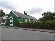
Stratford St.Mary Parish Room
Off Upper Street
Upper Street, Stratford St.Mary
At the junction with Lower Street
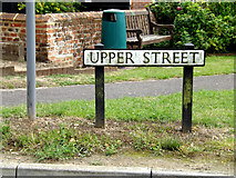
Upper Street sign
On Upper Street at the junction with Lower Street
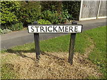
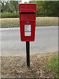
Strickmere Postbox
On Higham Road
Postbox No.CO7 141
Strickmere Postbox
On Higham Road
Postbox No.CO7 141
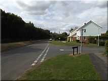
Higham Road, Stratford St.Mary
At the junction with Lower Street
Strickmere, Stratford St.Mary
At the junction with Higham Road
Strickmere sign
On Strickmere at the junction with Higham Road
Higham Road, Stratford St.Mary
At the junction with Strickmere
Lower Street & the Water Pumping Station
At the junction with Higham Road
Higham Road, Stratford St.Mary
Looking towards the junction with Lower Street
Strickmere Postbox
On Higham Road
Postbox No.CO7 141
(Close up)
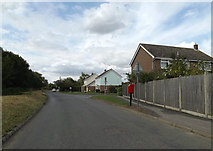
Higham Road & Strickmere Postbox
Approaching the junction with Strickmere
Postbox No.CO7 141
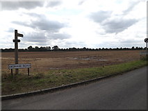
Suffolk Village of the year sign
Off Lower Street at the junction with Higham Road & Upper Street
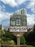
Stratford St.Mary Village sign
Off Lower Street at the junction with Higham Road & Upper Street
(Close up)
Stratford St.Mary Village sign
Off Lower Street at the junction with Higham Road & Upper Street
Higham Road sign
On Higham Road at the junction with Lower Street
Lower Street, Stratford St.Mary
Looking towards the junction with Upper Street at the junction with Higham Road... more
Lower Street sign & Milepost
On Lower Street at the junction with Higham Road near the Water Pumping Station
The Swan Public House
On Lower Street
Lower Street, Stratford St.Mary
At the junction with Higham Road near the Water Pumping Station
Stratford Bridge & A12 Ipswich Road
Taken from Lower Street at the junction with Higham Road
(Close up)
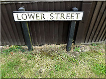
Lower Street sign
On Lower Street
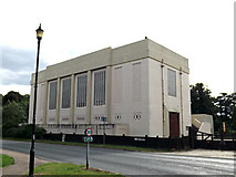
Water Pumping Station
On Lower Street at the junction with Higham Road
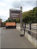
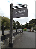
Le Talbooth Riverside Restaurant sign
Off Gun Hill
http://www.milsomhotels.com/letalbooth/
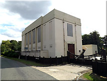
Water Pumping Station
On Lower Street at the junction with Higham Road
Lower Street & The Black Horse Public House
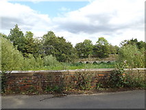
Stratford Bridge & A12 Ipswich Road
Taken from Lower Street
Lower Street & the Old Stratford Bridge
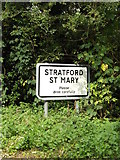
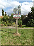
Stratford St.Mary Village Name sign
On Lower Street
Entering Stratford St.Mary on Lower Street
Entrance to Le Talbooth Riverside Restaurant
Off Gun Hill
http://www.milsomhotels.com/letalbooth/
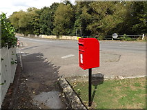
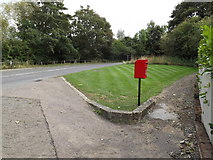
Gun Hill Postbox
At Le Talbooth Riverside Restaurant off Gun Hill
Postbox No.CO7 105
(Close up)
Gun Hill Postbox
At Le Talbooth Riverside Restaurant off Gun Hill
Postbox No.CO7 105
Gun Hill Postbox
At Le Talbooth Riverside Restaurant off Gun Hill
Postbox No.CO7 105
Le Talbooth Riverside Restaurant sign
Off Gun Hill
http://www.milsomhotels.com/letalbooth/
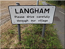
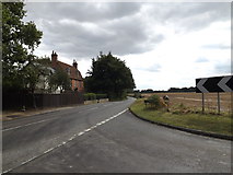
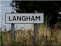
Langham Village Name sign
On Dedham Road at the junction with Ipswich Road & Gun Hill
(Close up)
Suffolk County sign on Lower Street
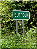
Entering Suffolk on Lower Street
Footpath off Dedham Road
At the junction with Ipswich Road & Gun Hill
Roadsigns on Ipswich Road
At the junction with Gun Hill & Dedham Road
Gun Hill, Dedham
At the junction with Dedham Road & Ipswich Road
Ipswich Road, Dedham
At the junction with Dedham Road & Gun Hill
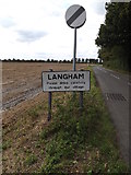
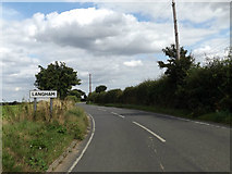
Langham Village Name sign
On Dedham Road at the junction with Ipswich Road & Gun Hill
Entering Langham on Dedham Road
At the junction with Ipswich Road & Gun Hill
Dedham Road sign
On Dedham Road at the junction with Ipswich Road & Gun Hill
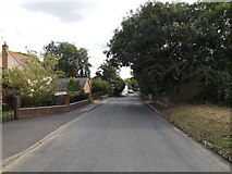
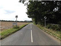
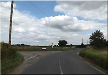
Dedham Road, Langham
At the junction with Ipswich Road & Gun Hill
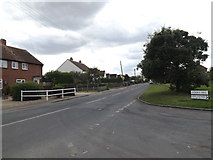
Dedham Road, Langham
Near Martin's Farm & Telephone box
Dedham Road junction
Near Alderton's Cottages
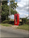
Telephone Box on Dedham Road
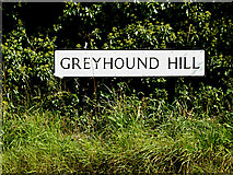
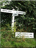
Greyhound Hill sign
On Greyhound Hill at the junction with Dedham Road
Greyhound Hill, Langham
At the junction with Dedham Road
Dedham Road, Langham
At the junction with Greyhound Hill
Langham Village Name sign
On Dedham Road
Entering Langham on Dedham Road
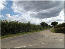
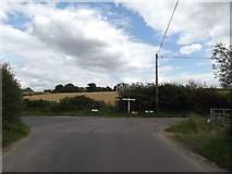
Dedham Road, Boxted Cross
At the junction with Sky Hall Hill
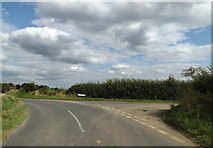
Dedham Road, Boxted Cross
At the junction with Cookes Hill.
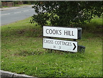
Cookes Hill sign
On Cookes Hill at the junction with Dedham Road
Roadsign on Cookes Hill
At the junction With Dedham Road
Cooks Hill, Boxted Cross
At the junction with Dedham Road
Cooks Hill, Boxted Cross
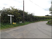
Carters Hill, Boxted
At the junction with Cookes & Parsonage Hills
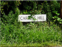
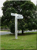
Carters Hill sign
On Carters Hill at the junction with Cookes & Parsonage Hills
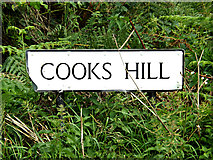
Cooks Hill sign
On Cooks Hill at the junction with Carters & Parsonage Hills
Parsonage Hill, Boxted
At the junction with Cookes & Carters Hills
Roadsign on Church Road
At the junction with Church Street & Parsonage Hill
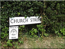
Church Street sign
On Church Street at the junction with Church Road & Parsonage Hill
Church Street, Boxted
At the junction with Church Road & Parsonage Hill
St.Peter's Church, Boxted
Off Church Street
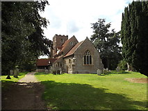
St.Peter's Church, Boxted
Off Church Street
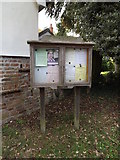
St.Peter's Church Notice Board
Off Church Street at the entrance of St.Peter's Church
Lower Farm Road, Boxted
At the junction with Sky Hall Hill & Wick Road
Church Street Victorian Postbox
On Church Street near St Peter's Church
Postbox No.CO4 58
(close up)
Church Street & Church Street Victorian Postbox
Near St Peter's Church
Postbox No.CO4 58
Church Street & Church Street Victorian Postbox
Near St Peter's Church
Postbox No.CO4 58
Church Street, Boxted
Near St.Peter's Church
Looking towards Lower Farm
Off Lower Farm Road
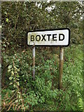
Boxted Village Name sign
On Lower Farm Road
Entering Boxted on Lower Farm Road
Sky Hall Hill, Boxted
At the junction with Lower Farm & Wick Roads
Lower Farm Road, Boxted
At the junction with Sky Hall Hill & Wick Road
Wick Road, Boxted
At the junction with Lower Farm Road & Sky Hall Hill at the bridge over the... more
Stoke By Nayland Golf Club Driving Range
Off Keepers Lane at the junction with the B1068 Sudbury Road... more

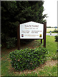
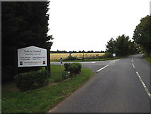
Stoke By Nayland Golf Club sign
Off the B1068 Sudbury Road at the junction with Keepers Lane... more
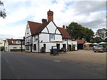
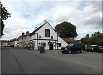
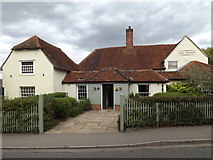
The Crown Public House
Off the B1068 Park Street
http://www.crowninn.net/
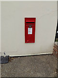
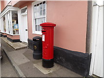
Stoke By Nayland Post Office & George VI Postbox
At Stoke By Nayland Post Office on the B1068 Park Street
Postbox No.CO6 228
(Close up)
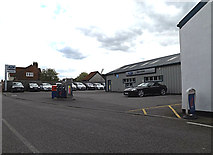
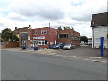
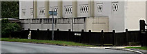
L.S. Eaves Ltd Service Station
Off the B1068 Polstead Street
http://www.lseaves.co.uk/
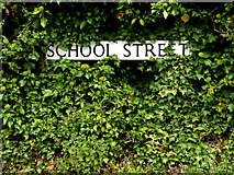
School Street sign
On School Street at the junction with the B1068 Sudbury Road & Polstead Street
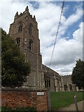
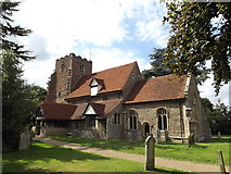
St.Mary's Church, Stoke By Nayland
Off School Street
http://www.suffolkchurches.co.uk/stoken.htm
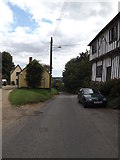
School Street, Stoke By Nayland
Looking towards the B1087 Church Street near St.Mary's Church
School Street, Stoke By Nayland
Looking towards the B1068 Sudbury Road near St.Mary's Church
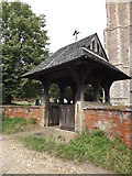
St.Mary's Church Lych Gate
Off School Street
http://www.suffolkchurches.co.uk/stoken.htm
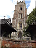
St.Mary's Church Tower
Off School Street
http://www.suffolkchurches.co.uk/stoken.htm
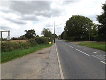
B1068 Sudbury Road, Stoke By Nayland
At the entrance to Steps Farm
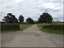
Footpath & entrance to Steps Farm
Off the B1068 Sudbury Road
Footpath sign off the B1068 Sudbury Road
At the entrance to Steps Farm
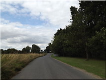
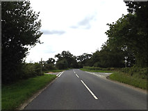
B1068 Sudbury Road, Stoke By Nayland
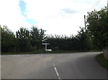
Looking towards the crossroads near Stoke By Nayland Village Name sign
Stoke By Nayland Village Name sign
On the B1068 Sudbury Road
Entering Stoke By Nayland on the B1068 Sudbury Road
B1068 Sudbury Road, Stoke By Nayland
At the junction with Mill Lane & Gravel Hill
Plough Lane, Stoke By Nayland
At the junction with the B1068 Sudbury Road
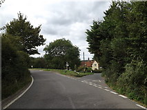
B1068 Sudbury Road, Stoke By Nayland
At the junction with Plough Lane
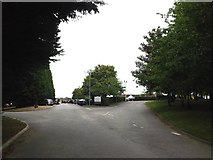
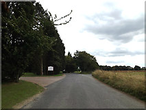
Keepers Lane, Stoke By Nayland
At the junction with the B1068 Sudbury Road near Stoke By Nayland Golf Course.
Keepers Lane, Stoke By Nayland
Looking towards the junction with the B1068 Sudbury Road near Stoke By Nayland... more
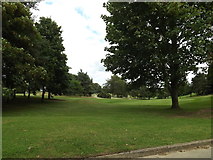
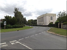
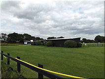
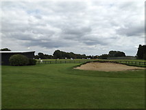
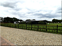
Stoke By Nayland Golf Course
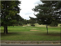
Stoke By Nayland Golf Course
Entrance of Stoke By Nayland Golf Club
Looking towards Keepers Lane
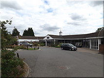
Stoke By Nayland Golf Club
Off Keepers Lane at the junction with the B1068 Sudbury Road... more
Stoke By Nayland Golf Club
Off Keepers Lane at the junction with the B1068 Sudbury Road... more
Entrance of Stoke By Nayland Golf Club
Off Keepers Lane at the junction with the B1068 Sudbury Road... more
Entrance of Stoke By Nayland Golf Club Driving Range
Off Keepers Lane at the junction with the B1068 Sudbury Road
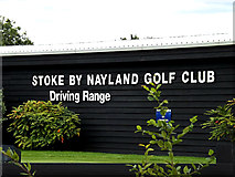
Stoke By Nayland Golf Club Driving Range sign
Off Keepers Lane at the junction with the B1068 Sudbury Road... more

Lee Westwood Golf School sign
At Stoke By Nayland Golf Club Driving Range
Off Keepers Lane at the junction with... more
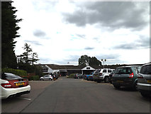
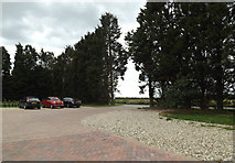
Stoke By Nayland Golf Club Driving Range Car Park
Off Keepers Lane at the junction with the B1068 Sudbury Road
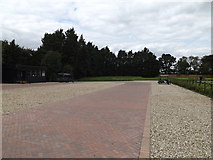
Stoke By Nayland Golf Club Driving Range
Off Keepers Lane at the junction with the B1068 Sudbury Road
Taken from the Car Park
Stoke By Nayland Golf Club Driving Range
Off Keepers Lane at the junction with the B1068 Sudbury Road... more
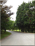
Keepers Lane, Stoke By Nayland
At the entrance to Stoke By Nayland Golf Club & Hotel
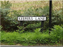
Keepers Lane sign
On Keepers Lane at the junction with the B1068 Sudbury Road
Keepers Lane, Stoke By Nayland
At the junction with the B1068 Sudbury Road
Stoke By Nayland Golf Club sign
Off the B1068 Sudbury Road at the junction with Keepers Lane... more
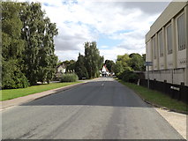
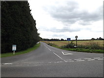
B1068 Sudbury Road, Stoke By Nayland
At the junction with Keepers Lane
B1068 Sudbury Road, Stoke By Nayland
At the junction with Mill Lane & Gravel Hill
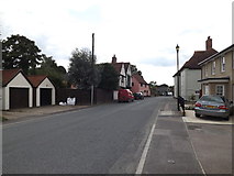
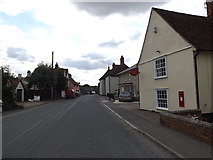
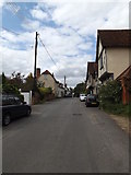
B1068 Polstead Street, Stoke By Nayland
At the junction with Rectory Hill
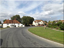
B1068 Park Street, Stoke By Nayland
Near The Crown Public House
Stoke By Nayland Post Office & George VI Postbox
At Stoke By Nayland Post Office on the B1068 Park Street
Postbox No.CO6 228
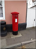
Stoke By Nayland Post Office George VI Postbox
At Stoke By Nayland Post Office on the B1068 Park Street
Postbox No.CO6 228
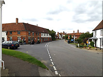
B1068 Park Street, Stoke By Nayland
At the junction with the B1068 Polstead Street, B1087 Church Street & Scotland Street
The Crown Public House
Off the B1068 Park Street
http://www.crowninn.net/
All images © Adrian Cable and available under a
Creative Commons licence  .
.