About 20,754 photos within 10km of NZ276592
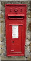
Within 0.1 km
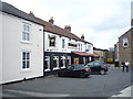
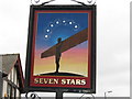
Within 0.3 km
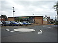
Within 0.6 km
Within 1.0 km
only first 50 images shown. Use the links below to explore more. This is a selection of photos centred on the geographical midpoint of the grid reference you have entered. Our coverage of different areas will vary
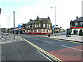
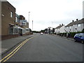
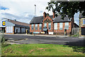
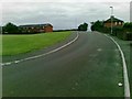
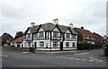
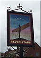
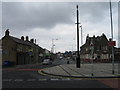
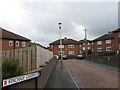
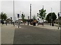
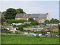
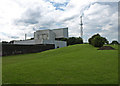
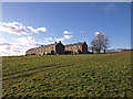
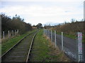
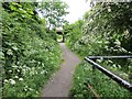
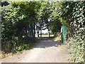
Geographical Contexts for these images (click to view more images): · Health and social services[1] · Housing, Dwellings[3] · Roads, Road transport[8] · Lowlands[2] · Public buildings and spaces[1] · Business, Retail, Services[14] · Suburb, Urban fringe[3] · Educational sites[1] · Derelict, Disused[4] · Religious sites[2] · Park and Public Gardens[1] · Communications[2] · Paths[6] · Railways[4] · Historic sites and artefacts[1] · Burial ground, Crematorium[1] · Sport, Leisure[3] · Woodland, Forest[1]