2008
NY7467 : Summit of Winshields Crags
taken 16 years ago, 4 km N of Melkridge, Northumberland, England
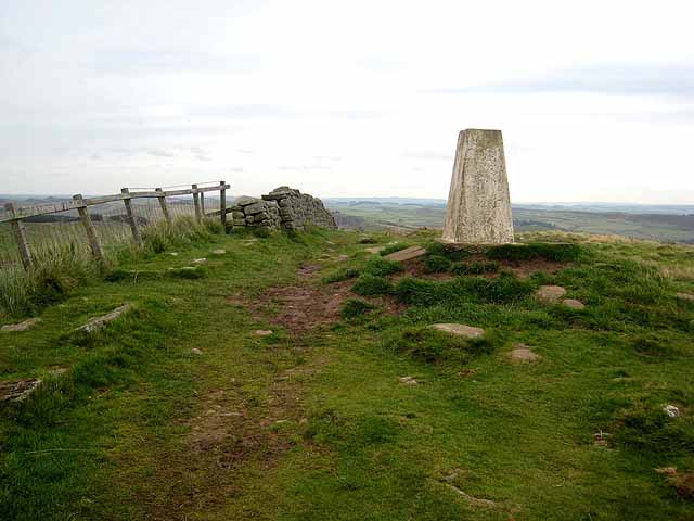
Summit of Winshields Crags
The two arguably most popular National Trails - the oldest, the Pennine Way which runs 268 miles from Edale to Kirk Yetholm
Link and the newest, Hadrians Wall National Trail which runs 84 miles from Bowness-on-Solway to Wallsend
Link - join forces over the finest section of Hadrian's Wall for some 12 Km. The trig pillar on Winshields Crags at 345 metres marks the highest point on Hadrian's Wall National Trail.
Link
Link
 Map © Crown Copyright")
TIP: Click the map for more Large scale mapping
- Grid Square
- NY7467, 99 images (more nearby 🔍)
- Photographer
- Oliver Dixon (more nearby)
- Date Taken
- Thursday, 9 October, 2008 (more nearby)
- Submitted
- Friday, 10 October, 2008
- Subject Location
-
OSGB36:
 NY 742 675 [100m precision]
WGS84: 55:0.1054N 2:24.2730W - Camera Location
-
OSGB36: NY 741 675
- View Direction
- Northeast (about 45 degrees)