2008
NN7040 : Forestry Track Junction
taken 16 years ago, near to Ardtalnaig, Perth And Kinross, Scotland
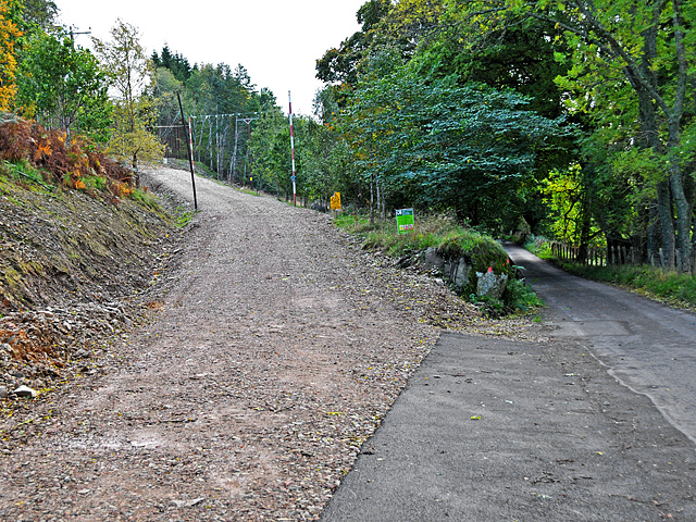
Forestry Track Junction
With the South Loch Tay Road: The track is wider than the road.
 Map © Crown Copyright")
TIP: Click the map for more Large scale mapping
- Grid Square
- NN7040, 12 images (more nearby 🔍)
- Photographer
- Dr Richard Murray (more nearby)
- Date Taken
- Saturday, 11 October, 2008 (more nearby)
- Submitted
- Sunday, 12 October, 2008
- Subject Location
-
OSGB36:
 NN 7091 4087 [10m precision]
WGS84: 56:32.5224N 4:6.0613W - Camera Location
-
OSGB36: NN 7092 4093
- View Direction
- SOUTH (about 180 degrees)