2008
N4056 : Lough Owel Woodland
taken 16 years ago, 3 km from Slanemore, Co Westmeath, Ireland
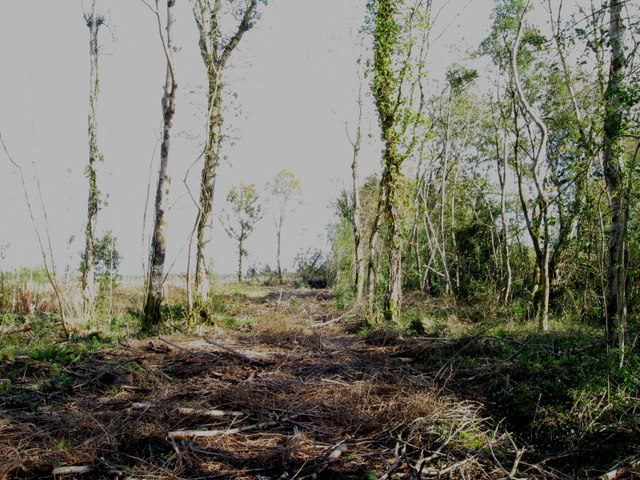
Lough Owel Woodland
Felled area of woodland close to the lagoon of Lough Owel known as the 'Pot Lake'.
Loading map... (JavaScript required)
- Grid Square
- N4056 (more nearby 🔍)
- Photographer
- kevin higgins (more nearby)
- Date Taken
- Monday, 13 October, 2008 (more nearby)
- Submitted
- Tuesday, 14 October, 2008
- Subject Location
-
Irish:
 N 409 561 [100m precision]
WGS84: 53:33.2326N 7:23.0178W - Camera Location
-
Irish: N 408 560
- View Direction
- Northeast (about 45 degrees)