2005
NX5987 : Polmaddy Gravel Pits
taken 18 years ago, near to Glenhoul, Dumfries And Galloway, Scotland
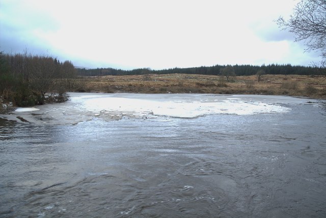
Polmaddy Gravel Pits
Flooding of the Polmaddy River into the Gravel Pits near to the site of the Polmaddy Settlement
 Map © Crown Copyright")
TIP: Click the map for more Large scale mapping
- Grid Square
- NX5987, 83 images (more nearby 🔍)
- Photographer
- Brian Joyce (more nearby)
- Date Taken
- Saturday, 31 December, 2005 (more nearby)
- Submitted
- Wednesday, 4 January, 2006
- Subject Location
-
OSGB36:
 NX 591 876 [100m precision]
WGS84: 55:9.7557N 4:12.7958W