2006
NH7679 : Farm Land on the Scotsburn to Tain Road
taken 18 years ago, near to East Lamington, Highland, Scotland
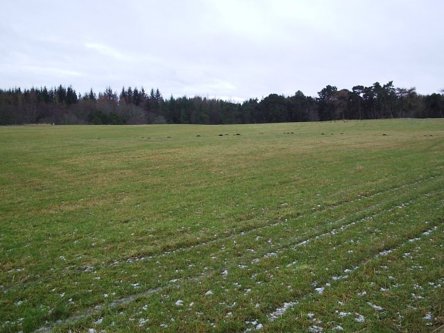
Farm Land on the Scotsburn to Tain Road
Near the Moor Farm.
 Map © Crown Copyright")
TIP: Click the map for more Large scale mapping
- Grid Square
- NH7679, 12 images (more nearby 🔍)
- Photographer
- Donald H Bain (more nearby)
- Date Taken
- Monday, 2 January, 2006 (more nearby)
- Submitted
- Wednesday, 4 January, 2006
- Subject Location
-
OSGB36:
 NH 762 797 [100m precision]
WGS84: 57:47.3864N 4:5.0427W - Camera Location
-
OSGB36: NH 761 798