2008
NH7326 : Old Path Heading East
taken 16 years ago, 4 km WNW of Corrievorrie, Highland, Scotland
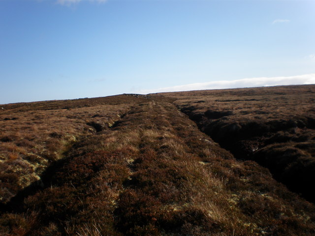
Old Path Heading East
This path does not appear on map although it crosses moor in a straight line for over a kilometre to meet track coming up from Glen Kyllachy
 Map © Crown Copyright")
TIP: Click the map for more Large scale mapping
- Grid Square
- NH7326, 3 images (more nearby 🔍)
- Photographer
- Sarah McGuire (more nearby)
- Date Taken
- Thursday, 16 October, 2008 (more nearby)
- Submitted
- Thursday, 16 October, 2008
- Subject Location
-
OSGB36:
 NH 736 268 [100m precision]
WGS84: 57:18.8629N 4:6.0042W - Camera Location
-
OSGB36: NH 731 268
- View Direction
- EAST (about 90 degrees)