2008
NH3134 : Rough high moorland
taken 16 years ago, 3 km from Cannich, Highland, Scotland
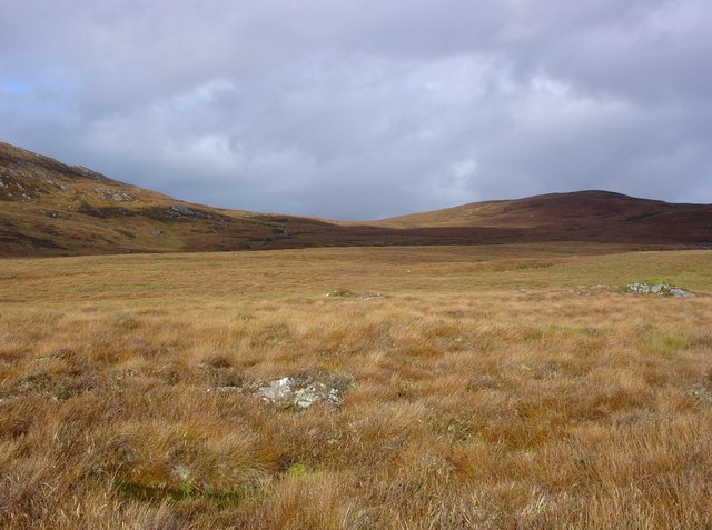
Rough high moorland
The rough high moorland looks relatively flat and leads to Carn Gorm (677m), on the right hand side of the photo. Though the area is called, 'Balmore Forest', there are no trees to be seen. The only wood in the area, is an occasional root from the old Caledonian Pine forest.
 Map © Crown Copyright")
TIP: Click the map for more Large scale mapping
- Grid Square
- NH3134, 5 images (more nearby 🔍)
- Photographer
- Alasdair MacDonald (more nearby)
- Date Taken
- Friday, 17 October, 2008 (more nearby)
- Submitted
- Tuesday, 21 October, 2008
- Subject Location
-
OSGB36:
 NH 319 343 [100m precision]
WGS84: 57:22.0946N 4:47.7321W - Camera Location
-
OSGB36: NH 319 341
- View Direction
- North-northeast (about 22 degrees)