2006
TQ7558 : Boxley Mill leat
taken 18 years ago, near to Sandling, Kent, England
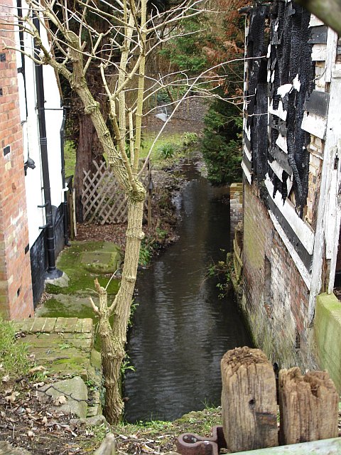
Boxley Mill leat
TQ7558 : Old Mill House, Boarley Lane, Sandling stands on the left, the fire damaged remains of the mill on the right. It is marked on the 19th century map as a cornmill but I think the original mill building must have been much taller than these charred remains suggest. See also TQ7558 : Boxley mill pond
 Map © Crown Copyright")
TIP: Click the map for more Large scale mapping
- Grid Square
- TQ7558, 69 images (more nearby 🔍)
- Photographer
- Penny Mayes (more nearby)
- Date Taken
- Thursday, 5 January, 2006 (more nearby)
- Submitted
- Friday, 6 January, 2006
- Subject Location
-
OSGB36:
 TQ 754 582 [100m precision]
WGS84: 51:17.7745N 0:30.9432E - Camera Location
-
OSGB36: TQ 754 582
- View Direction
- Northwest (about 315 degrees)