2008
SN0704 : Harrolds
taken 15 years ago, near to Redberth, Pembrokeshire/Sir Benfro, Wales
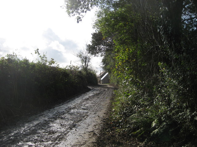
Harrolds
Looking up the access road
 Map © Crown Copyright")
TIP: Click the map for more Large scale mapping
- Grid Square
- SN0704, 2 images (more nearby 🔍)
- Photographer
- Phil Johnstone (more nearby)
- Date Taken
- Monday, 27 October, 2008 (more nearby)
- Submitted
- Tuesday, 28 October, 2008
- Subject Location
-
OSGB36:
 SN 075 048 [100m precision]
WGS84: 51:42.5526N 4:47.1873W - Camera Location
-
OSGB36: SN 076 049
- View Direction
- South-southwest (about 202 degrees)