2005
SJ8971 : View south from Pennington's Lane near Macclesfield
taken 18 years ago, near to Warren, Cheshire East, England
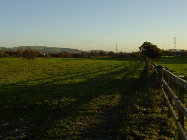
View south from Pennington's Lane near Macclesfield
View of farmland south of Pennington's Lane near Macclesfield. The hill with the tower on is Croker Hill.
 Map © Crown Copyright")
TIP: Click the map for more Large scale mapping
- Grid Square
- SJ8971, 5 images (more nearby 🔍)
- Photographer
- Colin Park (more nearby)
- Date Taken
- Sunday, 13 November, 2005 (more nearby)
- Submitted
- Saturday, 7 January, 2006
- Subject Location
-
OSGB36:
 SJ 896 719 [100m precision]
WGS84: 53:14.6411N 2:9.4382W