2008
ST9512 : Bridleway near Chettle
taken 15 years ago, near to Chettle, Dorset, England
This is 1 of 2 images, with title Bridleway near Chettle in this square
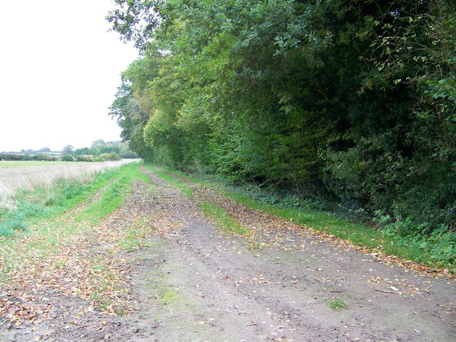
Bridleway near Chettle
The bridleway runs along side of the shelter belt.
 Map © Crown Copyright")
TIP: Click the map for more Large scale mapping
- Grid Square
- ST9512, 22 images (more nearby 🔍)
- Photographer
- Maigheach-gheal (more nearby)
- Date Taken
- Thursday, 23 October, 2008 (more nearby)
- Submitted
- Friday, 31 October, 2008
- Subject Location
-
OSGB36:
 ST 951 125 [100m precision]
WGS84: 50:54.7275N 2:4.2470W - Camera Location
-
OSGB36: ST 951 125
- View Direction
- Southeast (about 135 degrees)