2008
TQ2514 : Brighton Road
taken 15 years ago, near to Woodmancote, West Sussex, England
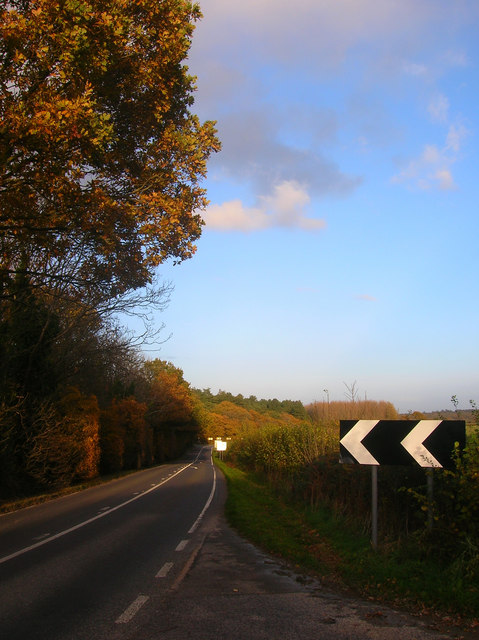
Brighton Road
A view of the A281 as it travels down to Poynings Crossways and Shaves Wood.
 Map © Crown Copyright")
TIP: Click the map for more Large scale mapping
- Grid Square
- TQ2514, 29 images (more nearby 🔍)
- Photographer
- Simon Carey (more nearby)
- Date Taken
- Friday, 7 November, 2008 (more nearby)
- Submitted
- Saturday, 8 November, 2008
- Subject Location
-
OSGB36:
 TQ 254 141 [100m precision]
WGS84: 50:54.8021N 0:13.0039W - Camera Location
-
OSGB36: TQ 252 140
- View Direction
- Northeast (about 45 degrees)