2008
ST4657 : Bridlepath towards Langford
taken 15 years ago, near to Burrington, North Somerset, England
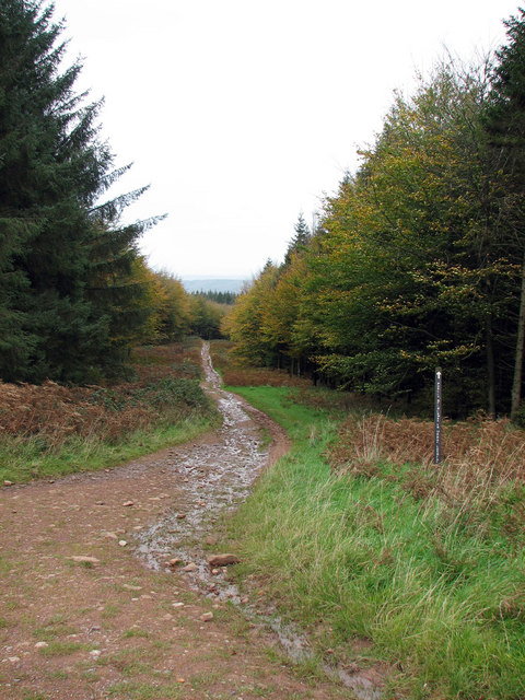
Bridlepath towards Langford
The muddy bridlepaths of Rowberrow Warren criss-cross this large 1950's forest. The area is good for horse riding, cycling (downhill that is when it's not too muddy), walking and in my opinion, ghosts.
 Map © Crown Copyright")
TIP: Click the map for more Large scale mapping
- Grid Square
- ST4657, 16 images (more nearby 🔍)
- Photographer
- MD (more nearby)
- Date Taken
- Saturday, 25 October, 2008 (more nearby)
- Submitted
- Saturday, 8 November, 2008
- Subject Location
-
OSGB36:
 ST 467 575 [100m precision]
WGS84: 51:18.8785N 2:45.9598W - Camera Location
-
OSGB36: ST 467 574
- View Direction
- North-northwest (about 337 degrees)