2006
SD6806 : Burns Animal Food Manufacturer
taken 18 years ago, near to Over Hulton, Bolton, England
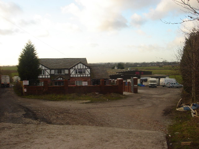
Burns Animal Food Manufacturer
On both OS maps, the 1940's and the 'modern', this is the site of Garnet Fold Farm. A road is shown on the 1940's map, leading down by the left of the farm to collieries in what are now fields.
 Map © Crown Copyright")
TIP: Click the map for more Large scale mapping
- Grid Square
- SD6806, 19 images (more nearby 🔍)
- Photographer
- Margaret Clough (more nearby)
- Date Taken
- Wednesday, 11 January, 2006 (more nearby)
- Submitted
- Wednesday, 11 January, 2006
- Subject Location
-
OSGB36:
 SD 689 066 [100m precision]
WGS84: 53:33.3058N 2:28.2551W