2008
SP7142 : Fenced Footpath, Linshire Copse
taken 15 years ago, near to Lillingstone Lovell, Buckinghamshire, England
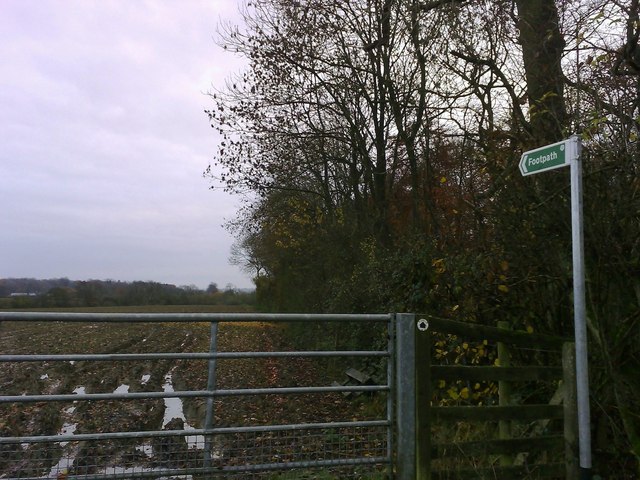
Fenced Footpath, Linshire Copse
A footpath running along the eastern edge of Linshire Copse. The path is bisected by a lane from the A413 near Whittlebury, towards Wicken and Deanshanger.
 Map © Crown Copyright")
TIP: Click the map for more Large scale mapping
- Grid Square
- SP7142, 8 images (more nearby 🔍)
- Photographer
- mick finn (more nearby)
- Date Taken
- Sunday, 16 November, 2008 (more nearby)
- Submitted
- Sunday, 16 November, 2008
- Subject Location
-
OSGB36:
 SP 711 427 [100m precision]
WGS84: 52:4.6863N 0:57.8366W - Camera Location
-
OSGB36: SP 711 427
- View Direction
- SOUTH (about 180 degrees)