2003
NS6401 : Alhang summit
taken 20 years ago, 4 km NNW of Corlae, Dumfries And Galloway, Scotland
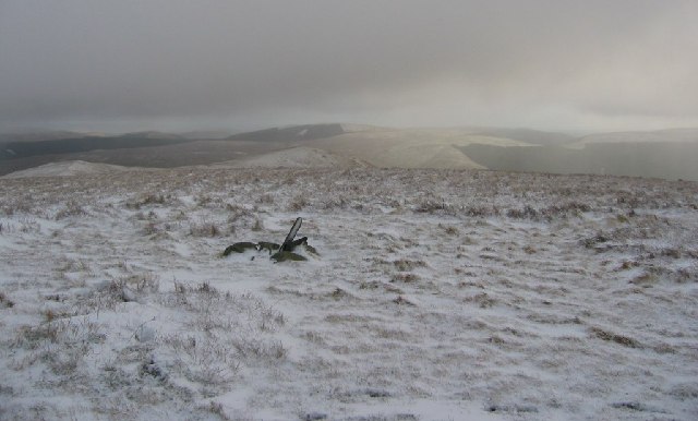
Alhang summit
Marked by a cairn. Accessible stone is rare here, it's under the peat, so not every top is cairned.
 Map © Crown Copyright")
TIP: Click the map for more Large scale mapping
- Grid Square
- NS6401, 12 images (more nearby 🔍)
- Photographer
- Richard Webb (more nearby)
- Date Taken
- Sunday, 28 December, 2003 (more nearby)
- Submitted
- Tuesday, 17 May, 2005
- Subject Location
-
OSGB36:
 NS 64 01 [1000m precision]
WGS84: 55:17.3352N 4:8.1146W