2008
SW7150 : Junction of Lawrence Road with Durning Road and Polbreen Lane
taken 15 years ago, near to St Agnes, Cornwall, England
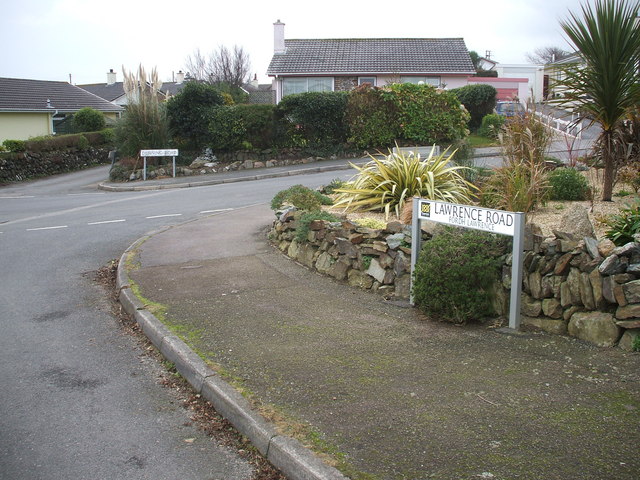
Junction of Lawrence Road with Durning Road and Polbreen Lane
Modern St Agnes.
 Map © Crown Copyright")
TIP: Click the map for more Large scale mapping
- Grid Square
- SW7150, 39 images (more nearby 🔍)
- Photographer
- Michael Murray (more nearby)
- Date Taken
- Saturday, 29 November, 2008 (more nearby)
- Submitted
- Sunday, 30 November, 2008
- Subject Location
-
OSGB36:
 SW 717 502 [100m precision]
WGS84: 50:18.4912N 5:12.4096W - Camera Location
-
OSGB36: SW 719 502
- View Direction
- WEST (about 270 degrees)