2008
TM0149 : Distant panorama of Nedging Tye
taken 15 years ago, near to Nedging Tye, Suffolk, England
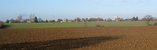
Distant panorama of Nedging Tye
The houses are in a line along the lane in the next square to the northwest. The water tower to the right is in a square further north still, by the B1078.
 Map © Crown Copyright")
TIP: Click the map for more Large scale mapping
- Grid Square
- TM0149, 17 images (more nearby 🔍)
- Photographer
- Andrew Hill (more nearby)
- Date Taken
- Saturday, 6 December, 2008 (more nearby)
- Submitted
- Saturday, 6 December, 2008
- Subject Location
-
OSGB36:
 TM 016 495 [100m precision]
WGS84: 52:6.4339N 0:56.6005E - Camera Location
-
OSGB36: TM 020 489
- View Direction
- Northwest (about 315 degrees)