2008
TM5074 : Southwold Harbour entrance
taken 15 years ago, near to Walberswick, Suffolk, England
This is 1 of 3 images, with title Southwold Harbour entrance in this square
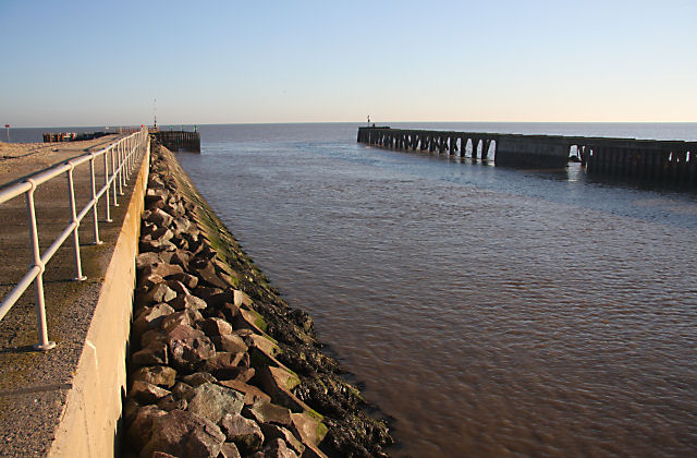
Southwold Harbour entrance
The River Blyth flows out of this entrance to Southwold Harbour. The northern arm is accessible to the public, but the southern arm on the Walberswick side is in a poor condition and public access is prohibited.
 Map © Crown Copyright")
TIP: Click the map for more Large scale mapping
- Grid Square
- TM5074, 184 images (more nearby 🔍)
- Photographer
- Bob Jones (more nearby)
- Date Taken
- Sunday, 7 December, 2008 (more nearby)
- Submitted
- Tuesday, 9 December, 2008
- Subject Location
-
OSGB36:
 TM 505 747 [100m precision]
WGS84: 52:18.8067N 1:40.4860E - Camera Location
-
OSGB36: TM 505 747
- View Direction
- Southeast (about 135 degrees)