2005
TQ8863 : Westlands School
taken 19 years ago, near to Borden, Kent, England
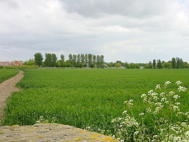
Westlands School
New housing development on the left, school obscured by trees in the centre. Seen from Cryalls Lane, the well used footpath across the cereal crop probably takes children from Borden village to the High school.
 Map © Crown Copyright")
TIP: Click the map for more Large scale mapping
- Grid Square
- TQ8863, 34 images (more nearby 🔍)
- Photographer
- Penny Mayes (more nearby)
- Date Taken
- Tuesday, 17 May, 2005 (more nearby)
- Submitted
- Wednesday, 18 May, 2005
- Subject Location
-
OSGB36:
 TQ 888 638 [100m precision]
WGS84: 51:20.5251N 0:42.6133E - Camera Location
-
OSGB36: TQ 885 634
- View Direction
- Northeast (about 45 degrees)