2008
TL5855 : East Cambridgeshire farmland
taken 15 years ago, near to Six Mile Bottom, Cambridgeshire, England
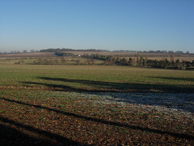
East Cambridgeshire farmland
Gently rolling landscape, in contrast to the Fens. Arable farming is similarly dominant though.
 Map © Crown Copyright")
TIP: Click the map for more Large scale mapping
- Grid Square
- TL5855, 16 images (more nearby 🔍)
- Photographer
- Hugh Venables (more nearby)
- Date Taken
- Sunday, 7 December, 2008 (more nearby)
- Submitted
- Thursday, 18 December, 2008
- Subject Location
-
OSGB36:
 TL 588 555 [100m precision]
WGS84: 52:10.5198N 0:19.3341E - Camera Location
-
OSGB36: TL 587 555
- View Direction
- East-northeast (about 67 degrees)