2008
TQ9664 : Saxon Shore Way beside Swale Marina
taken 15 years ago, near to Conyer, Kent, England
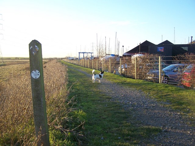
Saxon Shore Way beside Swale Marina
Also used by a National Cyclepath route 1 from Teynham to Sittingbourne. The Saxon Shore Way goes along The Swale towards Sittingbourne via the longer coastal route.
Saxon Shore Way
The Saxon Shore Way starts at Gravesend, Kent and traces the coast as it was in the Roman times as far as Hastings in East Sussex, 163 miles (262 km) in total. The Saxon Shore Way was originally opened in 1980, but has since been re-established, and in parts re-routed and extended. It follows the coastline of the South East as it was about 1500 years ago, long before the North Kent Marshes or the Romney Marsh came into existence. The Way takes its name, The Saxon Shore, from a line of fortifications built along the coastline as it was in the 3rd Century AD.
 Map © Crown Copyright")
TIP: Click the map for more Large scale mapping
- Grid Square
- TQ9664, 85 images (more nearby 🔍)
- Photographer
- David Anstiss (more nearby)
- Date Taken
- Wednesday, 17 December, 2008 (more nearby)
- Submitted
- Tuesday, 23 December, 2008
- Subject Location
-
OSGB36:
 TQ 960 645 [100m precision]
WGS84: 51:20.7833N 0:48.8241E - Camera Location
-
OSGB36: TQ 961 645
- View Direction
- WEST (about 270 degrees)