2008
NS4079 : Pappert Well Community Woodlands
taken 15 years ago, near to Bonhill, West Dunbartonshire, Scotland
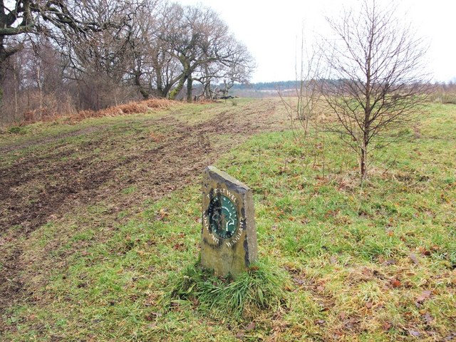
Pappert Well Community Woodlands
This area of woodland, established in 2000, contains over 2 miles of footpaths. The marker visible in this photo stands not far south of a stream; compare some similar markers that are located at the start of a footpath on the other side of the stream: NS4079 : Start of footpath to Pappert Hill.
 Map © Crown Copyright")
TIP: Click the map for more Large scale mapping
- Grid Square
- NS4079, 81 images (more nearby 🔍)
- Photographer
- Lairich Rig (more nearby)
- Date Taken
- Friday, 26 December, 2008 (more nearby)
- Submitted
- Friday, 26 December, 2008
- Subject Location
-
OSGB36:
 NS 4056 7964 [10m precision]
WGS84: 55:58.9901N 4:33.4294W - Camera Location
-
OSGB36: NS 4055 7964
- View Direction
- East-northeast (about 67 degrees)