2006
SE2612 : The Kirklees Way heading towards the A 636 Wakefield Road
taken 18 years ago, near to Clayton West, Kirklees, England
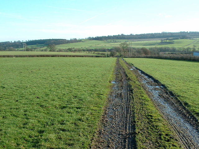
The Kirklees Way heading towards the A 636 Wakefield Road
The Kirklees Way is descending into the Dearne Valley. The Kirklees Way is a pleasant 72-mile route that circles the Metropolitan Borough of the same name.
 Map © Crown Copyright")
TIP: Click the map for more Large scale mapping
- Grid Square
- SE2612, 27 images (more nearby 🔍)
- Photographer
- Nigel Homer (more nearby)
- Date Taken
- Saturday, 21 January, 2006 (more nearby)
- Submitted
- Saturday, 21 January, 2006
- Subject Location
-
OSGB36:
 SE 262 123 [100m precision]
WGS84: 53:36.3965N 1:36.3306W