1995
TQ0747 : Footpath into Shere from the South-east
taken 29 years ago, near to Shere, Surrey, England
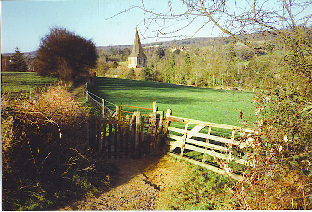
Footpath into Shere from the South-east.
Shere church in the Tilling Bourne valley, below the North Downs.
 Map © Crown Copyright")
TIP: Click the map for more Large scale mapping
- Grid Square
- TQ0747, 393 images (more nearby 🔍)
- Photographer
- Colin Smith (more nearby)
- Date Taken
- January 1995 (more nearby)
- Submitted
- Saturday, 21 January, 2006
- Subject Location
-
OSGB36:
 TQ 074 477 [100m precision]
WGS84: 51:13.1044N 0:27.8148W - Camera Location
-
OSGB36: TQ 075 476
- View Direction
- Northwest (about 315 degrees)