2009
NS2168 : Track to Kelly Reservoir
taken 15 years ago, near to Upper Skelmorlie, North Ayrshire, Scotland
This is 1 of 2 images, with title Track to Kelly Reservoir in this square
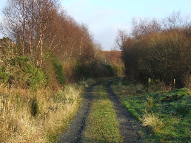
Track to Kelly Reservoir
The last stretch amongst the trees going up the hill before reaching the open moorland.
 Map © Crown Copyright")
TIP: Click the map for more Large scale mapping
- Grid Square
- NS2168, 18 images (more nearby 🔍)
- Photographer
- Thomas Nugent (more nearby)
- Date Taken
- Thursday, 1 January, 2009 (more nearby)
- Submitted
- Friday, 2 January, 2009
- Subject Location
-
OSGB36:
 NS 211 684 [100m precision]
WGS84: 55:52.5608N 4:51.5981W - Camera Location
-
OSGB36: NS 210 684
- View Direction
- EAST (about 90 degrees)