2009
NS2269 : The Kelly Cut
taken 15 years ago, 3 km from Langhouse, Inverclyde, Scotland
This is 1 of 19 images, with title The Kelly Cut in this square
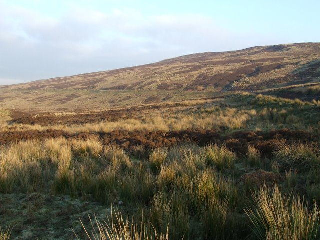
The Kelly Cut
The cut passes through moorland on the lower slopes of Wenchly Top.
 Map © Crown Copyright")
TIP: Click the map for more Large scale mapping
- Grid Square
- NS2269, 44 images (more nearby 🔍)
- Photographer
- Thomas Nugent (more nearby)
- Date Taken
- Thursday, 1 January, 2009 (more nearby)
- Submitted
- Friday, 2 January, 2009
- Subject Location
-
OSGB36:
 NS 228 698 [100m precision]
WGS84: 55:53.3297N 4:50.0712W - Camera Location
-
OSGB36: NS 223 693
- View Direction
- Northeast (about 45 degrees)