2009
TG2835 : Brewery Road junction
taken 15 years ago, near to Trunch, Norfolk, England
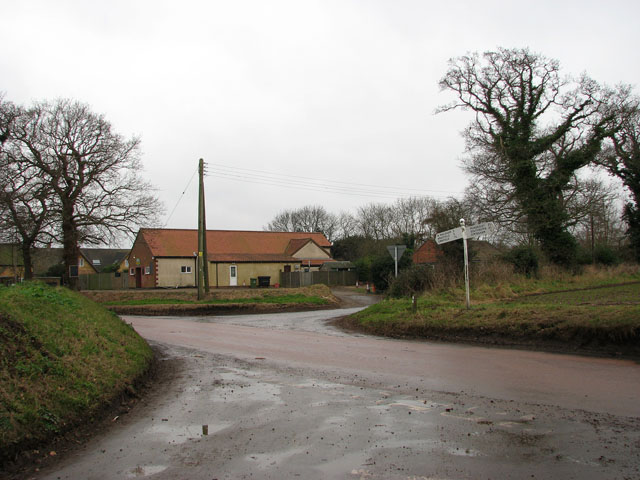
Brewery Road junction
The road seen in the foreground is an unnamed lane which links with Mundesley Road further to the northeast. Here it meets North Walsham Road, the main thoroughfare through the village of Trunch. Brewery Road can be seen joining North Walsham Road on the other side. The building seen in the background houses the Trunch Social Club > Link.
 Map © Crown Copyright")
TIP: Click the map for more Large scale mapping
- Grid Square
- TG2835, 58 images (more nearby 🔍)
- Photographer
- Evelyn Simak (more nearby)
- Date Taken
- Monday, 12 January, 2009 (more nearby)
- Submitted
- Monday, 12 January, 2009
- Subject Location
-
OSGB36:
 TG 286 350 [100m precision]
WGS84: 52:51.8645N 1:23.7441E - Camera Location
-
OSGB36: TG 287 351
- View Direction
- Southwest (about 225 degrees)