2003
NN2306 : The path to Ben Donich
taken 21 years ago, 5 km ENE of Monevechadan, Argyll And Bute, Scotland
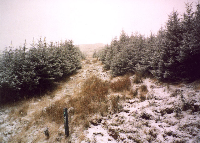
The path to Ben Donich
The signed path to Ben Donich climbs through a gap in the forest.
 Map © Crown Copyright")
TIP: Click the map for more Large scale mapping
- Grid Square
- NN2306, 29 images (more nearby 🔍)
- Photographer
- bill copland (more nearby)
- Date Taken
- Friday, 31 January, 2003 (more nearby)
- Submitted
- Thursday, 26 January, 2006
- Subject Location
-
OSGB36:
 NN 231 065 [100m precision]
WGS84: 56:13.0846N 4:51.2662W - Camera Location
-
OSGB36: NN 231 065