2009
SP4369 : Birdingbury, lane to Bourton
taken 15 years ago, near to Frankton, Warwickshire, England
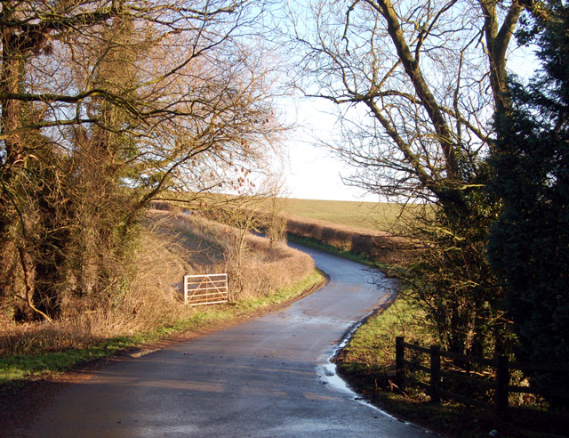
Birdingbury, lane to Bourton
Looking northeast up the lane to Bourton on Dunsmore from the stream valley near Birdingbury station.
 Map © Crown Copyright")
TIP: Click the map for more Large scale mapping
- Grid Square
- SP4369, 39 images (more nearby 🔍)
- Photographer
- Andy F (more nearby)
- Date Taken
- Sunday, 18 January, 2009 (more nearby)
- Submitted
- Tuesday, 20 January, 2009
- Subject Location
-
OSGB36:
 SP 433 694 [100m precision]
WGS84: 52:19.2652N 1:21.9339W - Camera Location
-
OSGB36: SP 433 693
- View Direction
- Northeast (about 45 degrees)