2009
SN1707 : Black Rock Amroth
taken 15 years ago, near to Amroth, Pembrokeshire/Sir Benfro, Wales
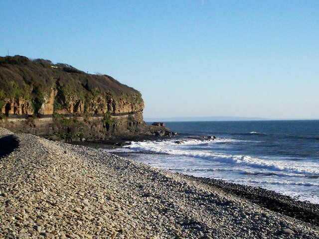
Black Rock Amroth
Looking east towards Black Rock. This was where people would go to picnic when they made their annual trip to the seaside from inland villages (Sunday School trips etc).
 Map © Crown Copyright")
TIP: Click the map for more Large scale mapping
- Grid Square
- SN1707, 93 images (more nearby 🔍)
- Photographer
- welshbabe (more nearby)
- Date Taken
- Friday, 9 January, 2009 (more nearby)
- Submitted
- Friday, 23 January, 2009
- Subject Location
-
OSGB36:
 SN 176 072 [100m precision]
WGS84: 51:44.0263N 4:38.5267W - Camera Location
-
OSGB36: SN 174 072
- View Direction
- EAST (about 90 degrees)