2006
SK2344 : Farmhouse at the end of the field
taken 18 years ago, near to Commonside, Derbyshire, England
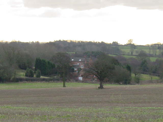
Farmhouse at the end of the field
Looking SSE from the path which runs between Bradley Park Farm North and Bradley village towards Bradley Oldpark.
 Map © Crown Copyright")
TIP: Click the map for more Large scale mapping
- Grid Square
- SK2344, 6 images (more nearby 🔍)
- Photographer
- Colin Park (more nearby)
- Date Taken
- Thursday, 26 January, 2006 (more nearby)
- Submitted
- Saturday, 28 January, 2006
- Subject Location
-
OSGB36:
 SK 236 442 [100m precision]
WGS84: 52:59.6767N 1:38.9906W - Camera Location
-
OSGB36: SK 233 449