2006
NS6033 : Ruined fank above the junction of the Powmeadow Burn and Avon Water
taken 18 years ago, near to Anderside Hill [hill or Mountain], South Lanarkshire, Great Britain
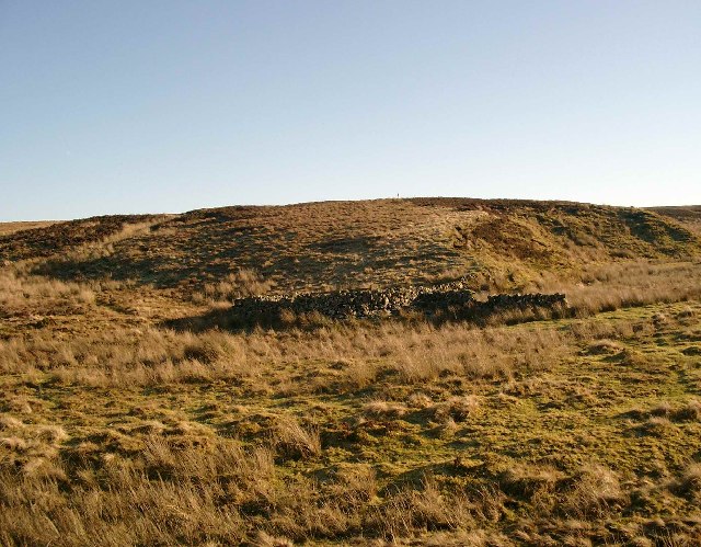
Ruined fank above the junction of the Powmeadow Burn and Avon Water
 Map © Crown Copyright")
TIP: Click the map for more Large scale mapping
- Grid Square
- NS6033, 3 images (more nearby 🔍)
- Photographer
- Gordon Brown (more nearby)
- Date Taken
- Sunday, 29 January, 2006 (more nearby)
- Submitted
- Monday, 30 January, 2006
- Subject Location
-
OSGB36:
 NS 605 335 [100m precision]
WGS84: 55:34.5076N 4:12.8527W - Camera Location
-
OSGB36: NS 604 336
- View Direction
- Southeast (about 135 degrees)