2005
SO8776 : Farmland east of Mount Segg
taken 19 years ago, near to Blakedown, Worcestershire, England
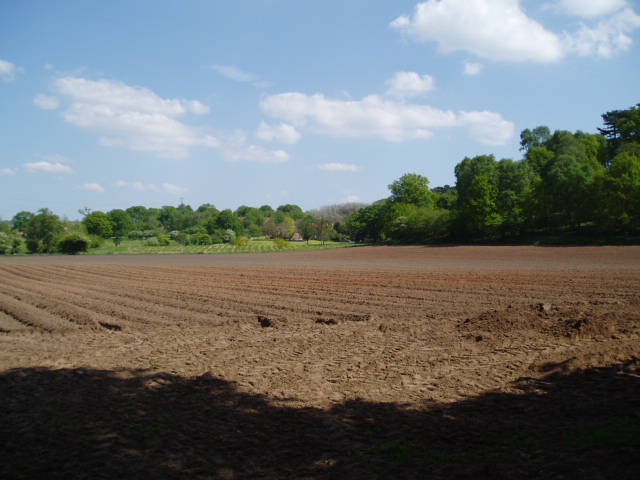
Farmland east of Mount Segg
Picture taken from the bridleway at SO 87265 76335 on the north-east side of Mount Segg, looking east across open farmland towards Mearse Farm.
 Map © Crown Copyright")
TIP: Click the map for more Large scale mapping
- Grid Square
- SO8776, 22 images (more nearby 🔍)
- Photographer
- Martyn B (more nearby)
- Date Taken
- Sunday, 15 May, 2005 (more nearby)
- Submitted
- Saturday, 21 May, 2005
- Subject Location
-
OSGB36:
 SO 87 76 [1000m precision]
WGS84: 52:23.1830N 2:11.1052W