2009
SY0289 : Grindle Brook
taken 15 years ago, near to Woodbury Salterton, Devon, England
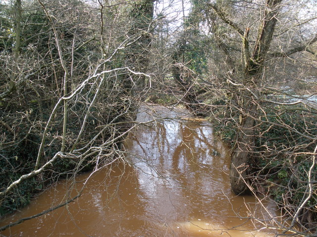
Grindle Brook
Swollen by melt-water, following recent snow-falls.
 Map © Crown Copyright")
TIP: Click the map for more Large scale mapping
- Grid Square
- SY0289, 24 images (more nearby 🔍)
- Photographer
- Roger Cornfoot (more nearby)
- Date Taken
- Saturday, 7 February, 2009 (more nearby)
- Submitted
- Monday, 9 February, 2009
- Subject Location
-
OSGB36:
 SY 021 897 [100m precision]
WGS84: 50:41.9482N 3:23.1962W - Camera Location
-
OSGB36: SY 022 897
- View Direction
- West-southwest (about 247 degrees)