2006
NT3452 : Moorfoot Hills
taken 18 years ago, 4 km N of Dewar, Scottish Borders, Scotland
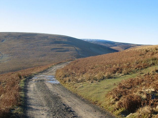
Moorfoot Hills
The Blackhope road with Blackhope Scar in the background, this is 651m high and the highest point in Midlothian but not the range, outtopped by Windlestraw Law to the east.
 Map © Crown Copyright")
TIP: Click the map for more Large scale mapping
- Grid Square
- NT3452, 27 images (more nearby 🔍)
- Photographer
- Richard Webb (more nearby)
- Date Taken
- Tuesday, 31 January, 2006 (more nearby)
- Submitted
- Tuesday, 31 January, 2006
- Subject Location
-
OSGB36:
 NT 3465 5233 [10m precision]
WGS84: 55:45.5935N 3:2.5756W - Camera Location
-
OSGB36: NT 3466 5233
- View Direction
- WEST (about 270 degrees)