2009
NG4729 : Allt Dearg Mor
taken 15 years ago, 4 km SE of Crossal, Isle of Skye, Scotland
This is 1 of 2 images, with title Allt Dearg Mor in this square
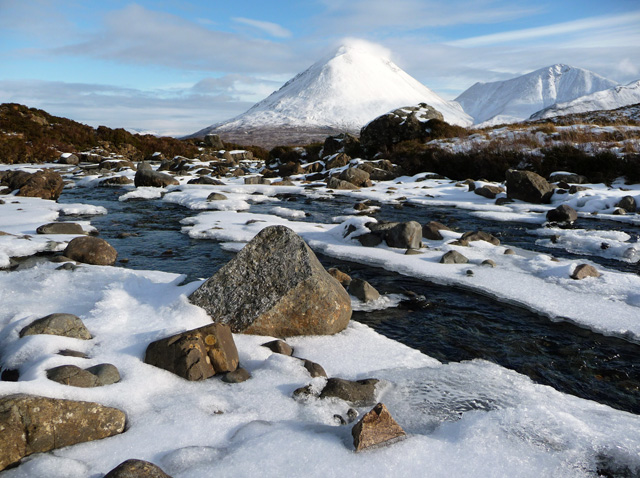
Allt Dearg Mor
Looking downstream, with Sgurr Mhairi (775m) in the centre of the background. To the right of Sgurr Mhairi is Beinn Dearg Mhor (731m).
 Map © Crown Copyright")
TIP: Click the map for more Large scale mapping
- Grid Square
- NG4729, 29 images (more nearby 🔍)
- Photographer
- John Allan (more nearby)
- Date Taken
- Tuesday, 10 February, 2009 (more nearby)
- Submitted
- Tuesday, 10 February, 2009
- Subject Location
-
OSGB36:
 NG 475 292 [100m precision]
WGS84: 57:17.0044N 6:11.4892W - Camera Location
-
OSGB36: NG 475 292
- View Direction
- EAST (about 90 degrees)