2005
SO8601 : Cattle Grid near Burleigh Lane
taken 19 years ago, near to Minchinhampton, Gloucestershire, England
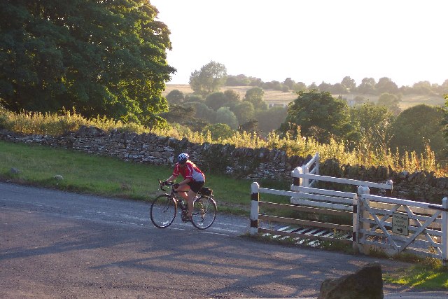
Cattle Grid near Burleigh Lane
This is the top of the lane that passes the Burleigh Hotel. The distant hill is Thrupp.
 Map © Crown Copyright")
TIP: Click the map for more Large scale mapping
- Grid Square
- SO8601, 55 images (more nearby 🔍)
- Photographer
- Peter Kwan (more nearby)
- Date Taken
- Tuesday, 9 August, 2005 (more nearby)
- Submitted
- Wednesday, 1 February, 2006
- Subject Location
-
OSGB36:
 SO 866 016 [100m precision]
WGS84: 51:42.7781N 2:11.7209W