2009
SN5884 : A precipitous section of the Ceredigion Coastal Path
taken 15 years ago, near to Llangorwen, Ceredigion/Sir Ceredigion, Wales
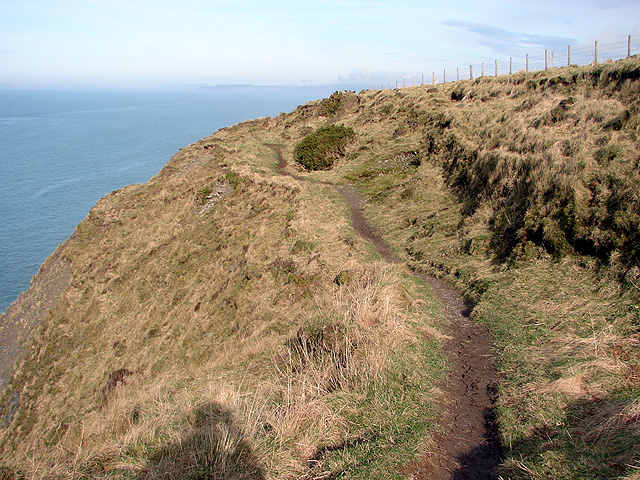
A precipitous section of the Ceredigion Coastal Path
Approaching the highest point of the path between Clarach Bay and Wallog.
 Map © Crown Copyright")
TIP: Click the map for more Large scale mapping
- Grid Square
- SN5884, 81 images (more nearby 🔍)
- Photographer
- John Lucas (more nearby)
- Date Taken
- Monday, 16 February, 2009 (more nearby)
- Submitted
- Wednesday, 18 February, 2009
- Subject Location
-
OSGB36:
 SN 586 848 [100m precision]
WGS84: 52:26.5813N 4:4.8279W - Camera Location
-
OSGB36: SN 586 847
- View Direction
- NORTH (about 0 degrees)