2009
SE0617 : Track to White Rock Farm
taken 15 years ago, near to Outlane, Kirklees, England
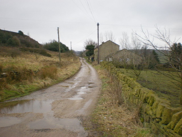
Track to White Rock Farm
Then on to Upper and Lower Moulson Place
 Map © Crown Copyright")
TIP: Click the map for more Large scale mapping
- Grid Square
- SE0617, 92 images (more nearby 🔍)
- Photographer
- Alexander P Kapp (more nearby)
- Date Taken
- Tuesday, 17 February, 2009 (more nearby)
- Submitted
- Thursday, 19 February, 2009
- Subject Location
-
OSGB36:
 SE 064 174 [100m precision]
WGS84: 53:39.1998N 1:54.2242W - Camera Location
-
OSGB36: SE 064 175
- View Direction
- South-southeast (about 157 degrees)