2006
SS6190 : Victorian Tunnel
taken 18 years ago, near to Black Pill, Swansea/Abertawe, Wales
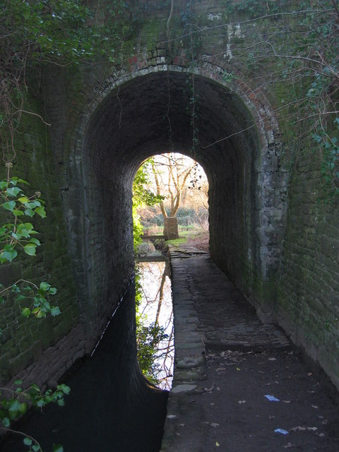
Victorian Tunnel
Built to allow the Cwm Stream and a footpath to pass under the former track-bed at Mumbles Road station of the Swansea to Shrewsbury LMS railway line. The stream has a confluence with the Clyne River close to the tree beyond the tunnel.
 Map © Crown Copyright")
TIP: Click the map for more Large scale mapping
- Grid Square
- SS6190, 57 images (more nearby 🔍)
- Photographer
- Robert Cuthill (more nearby)
- Date Taken
- Thursday, 9 February, 2006 (more nearby)
- Submitted
- Thursday, 19 February, 2009
- Subject Location
-
OSGB36:
 SS 618 907 [100m precision]
WGS84: 51:35.9321N 3:59.7696W - Camera Location
-
OSGB36: SS 618 908
- View Direction
- South-southwest (about 202 degrees)