2009
NH4421 : Bog Oak Surfacing on Meall Fuar-mhonaidh Moorland
taken 15 years ago, near to Alltsigh, Highland, Scotland
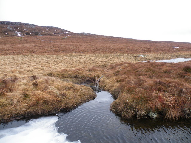
Bog Oak Surfacing on Meall Fuar-mhonaidh Moorland
The whole area east of Meall Fuar-mhonaidh is a water cashment area, with very deep burns cutting across open moorland
 Map © Crown Copyright")
TIP: Click the map for more Large scale mapping
- Grid Square
- NH4421, 4 images (more nearby 🔍)
- Photographer
- Sarah McGuire (more nearby)
- Date Taken
- Friday, 20 February, 2009 (more nearby)
- Submitted
- Friday, 20 February, 2009
- Subject Location
-
OSGB36:
 NH 444 211 [100m precision]
WGS84: 57:15.2811N 4:34.7690W - Camera Location
-
OSGB36: NH 440 217
- View Direction
- Southeast (about 135 degrees)