2009
NS5966 : Port Dundas
taken 15 years ago, near to Royston, Glasgow, Scotland
This is 1 of 25 images, with title Port Dundas in this square
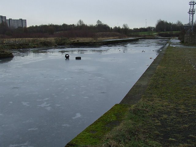
Port Dundas
Part of the basin complex on the disused Monklands Canal at North Canal Bank Street. There are plans to re-connect the basin to the adjacent Glasgow branch of the Forth and Clyde canal.
 Map © Crown Copyright")
TIP: Click the map for more Large scale mapping
- Grid Square
- NS5966, 369 images (more nearby 🔍)
- Photographer
- Thomas Nugent (more nearby)
- Date Taken
- Friday, 13 February, 2009 (more nearby)
- Submitted
- Friday, 20 February, 2009
- Subject Location
-
OSGB36:
 NS 594 665 [100m precision]
WGS84: 55:52.2870N 4:14.9181W - Camera Location
-
OSGB36: NS 593 666
- View Direction
- Southeast (about 135 degrees)