2006
SW9275 : Dune path on the east side of the Camel Estuary
taken 18 years ago, near to Padstow, Cornwall, England
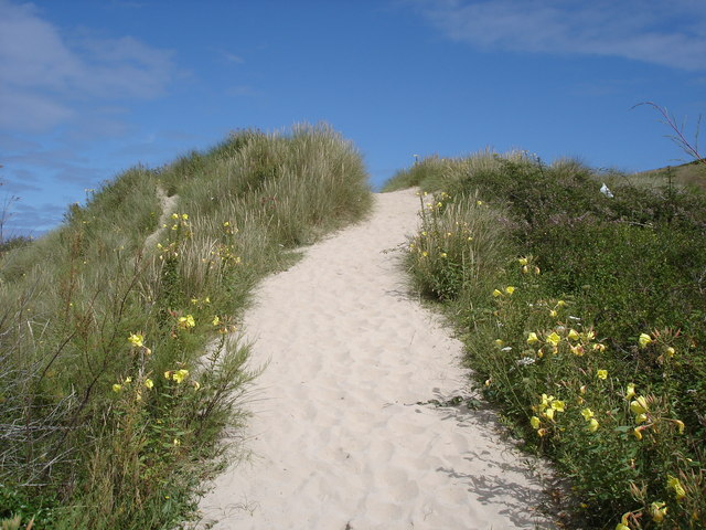
Dune path on the east side of the Camel Estuary
 Map © Crown Copyright")
TIP: Click the map for more Large scale mapping
- Grid Square
- SW9275, 256 images (more nearby 🔍)
- Photographer
- Ian Cunliffe (more nearby)
- Date Taken
- Thursday, 27 July, 2006 (more nearby)
- Submitted
- Saturday, 21 February, 2009
- Subject Location
-
OSGB36:
 SW 927 759 [100m precision]
WGS84: 50:32.8060N 4:55.5917W - Camera Location
-
OSGB36: SW 927 759
- View Direction
- NORTH (about 0 degrees)