2009
TQ4500 : Bird Watching Screen, Ouse Estuary Nature Reserve
taken 15 years ago, near to Rookery Hill, East Sussex, England
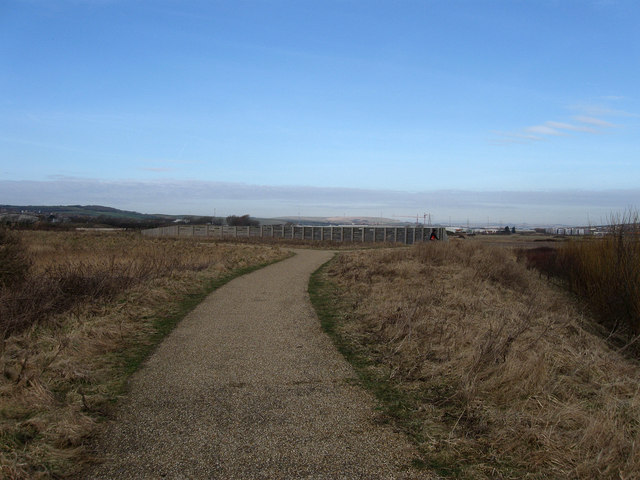
Bird Watching Screen, Ouse Estuary Nature Reserve
The paved footpath follows the course of the one marked on the map. The screen looks over the washlands areas devoted to any excess water and favoured by many sea birds.
 Map © Crown Copyright")
TIP: Click the map for more Large scale mapping
- Grid Square
- TQ4500, 256 images (more nearby 🔍)
- Photographer
- Simon Carey (more nearby)
- Date Taken
- Saturday, 21 February, 2009 (more nearby)
- Submitted
- Sunday, 22 February, 2009
- Subject Location
-
OSGB36:
 TQ 457 009 [100m precision]
WGS84: 50:47.4051N 0:3.9448E - Camera Location
-
OSGB36: TQ 458 009
- View Direction
- West-northwest (about 292 degrees)