2009
SP9718 : Lane from Edlesborough to A4146
taken 15 years ago, near to Edlesborough, Buckinghamshire, England
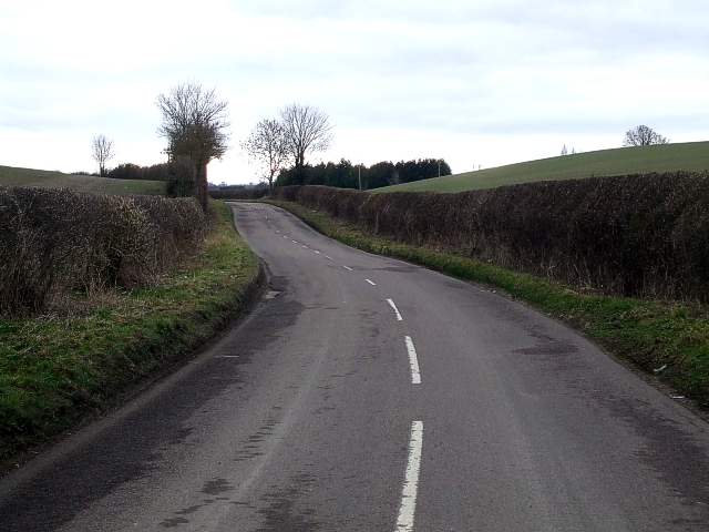
Lane from Edlesborough to A4146
A gently undulating lane leads out of the southern end of Edlesborough and links up with the A4146. Taken from the same position as SP9718 : Power lines but looking southwards rather than to the East.
 Map © Crown Copyright")
TIP: Click the map for more Large scale mapping
- Grid Square
- SP9718, 11 images (more nearby 🔍)
- Photographer
- Rob Farrow (more nearby)
- Date Taken
- Sunday, 22 February, 2009 (more nearby)
- Submitted
- Monday, 23 February, 2009
- Subject Location
-
OSGB36:
 SP 9764 1880 [10m precision]
WGS84: 51:51.5552N 0:35.0148W - Camera Location
-
OSGB36: SP 9766 1886
- View Direction
- South-southwest (about 202 degrees)