2006
ST4242 : Fields
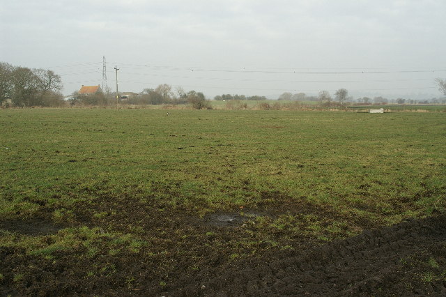
taken 18 years ago, near to Westhay, Somerset, England
Fields
Honeygar Farm can be seen in the background. Westhay level.
 Map © Crown Copyright")
TIP: Click the map for more Large scale mapping
- Grid Square
- ST4242, 17 images (more nearby 🔍)
- Photographer
- Adrian and Janet Quantock (more nearby)
- Date Taken
- Sunday, 5 February, 2006 (more nearby)
- Submitted
- Sunday, 5 February, 2006
- Subject Location
-
OSGB36:
 ST 42 42 [1000m precision]
WGS84: 51:10.7297N 2:49.4383W - Camera Location
-
OSGB36: ST 425 423